The Best London Underground Apps in 2026 (And Which One You Actually Need)
The Tube moves five million people a day, and on paper it’s simple: eleven lines, one map, colour-coded. In practice, a closed escalator at Bank or a suspended Piccadilly line service can turn a 20-minute journey into a 50-minute one — and the difference between the two is usually whichever app you had open. This guide breaks down the best London Underground apps for 2026, what each one is actually good for, and which combination covers you completely.

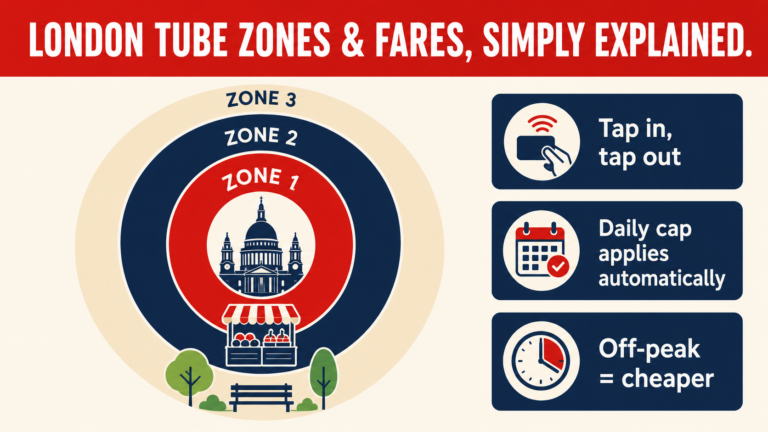
[Internal link opportunity → your Tube Zones & Fares pillar post]: “Before you open any app, it helps to understand how London’s zone system actually works — it’s the thing that decides what your journey costs, not just how long it takes.”
At a Glance: Which App Solves Which Problem
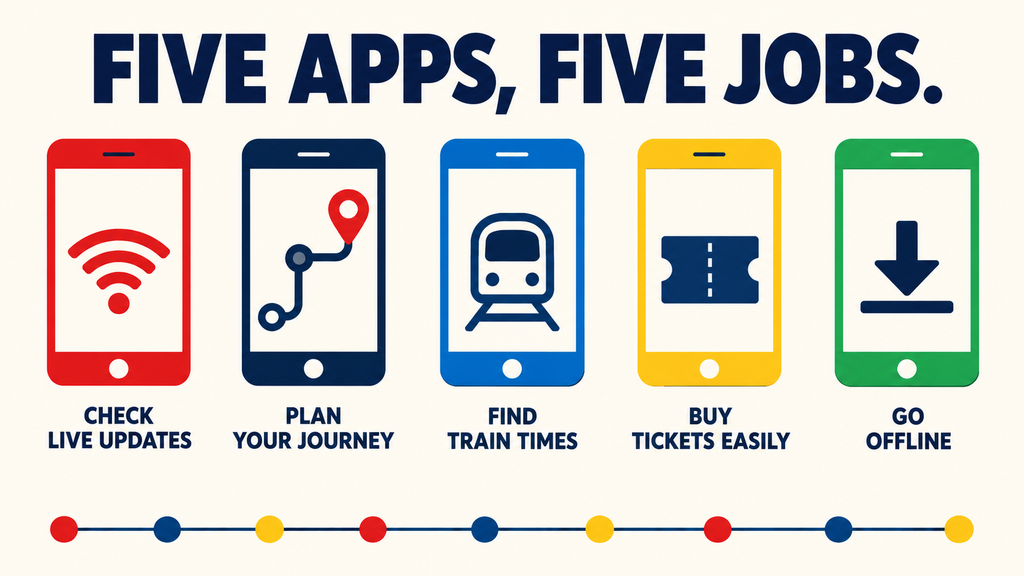
- Live disruption info → TfL Go, Citymapper
- Door-to-door planning (bus, bike, walk) → Citymapper, Google Maps
- Offline access → Tube Map by Mapway
- Buying tickets for onward rail travel → Trainline
- Step-free / accessibility routing → TfL Go
TfL Go — The Official App, Straight From the Source
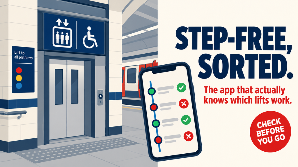
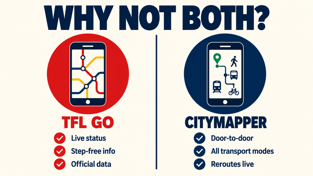
TfL Go is Transport for London’s own app, which makes it the most reliable place to check live service status — closures and delays show up here before anywhere else. It also carries the most complete accessibility data of any app on this list: step-free routing, lift status, and platform-to-street information for every station.
[Internal link opportunity]: “If you’re travelling with a buggy, luggage, or reduced mobility, pair this app with our full step-free London by Tube guide — it covers which stations actually have working lifts, not just which ones are listed as step-free on paper.”
Citymapper — Best for Planning the Whole Journey
Citymapper’s strength is that it doesn’t just think in Tube lines — it blends Underground, bus, Overground, DLR, cycling, and ride-share into one suggested route, and updates that route in real time if something goes wrong. For visitors juggling a packed day, this is often the single most useful app on their phone.
[Internal link opportunity]: Link out to your East London itinerary or first-timer 3-day itinerary post here — “This is the app to have open while you’re following our East London weekend by Tube itinerary, since it’ll reroute you instantly if a line’s suspended.”
Google Maps — The One Already on Your Phone
Google Maps isn’t Tube-specific, but its transit layer is genuinely solid for London, and it’s the one app most visitors already have installed and trust. It’s a reasonable default if you’d rather not add another app just for a short trip.
Trainline — Best If You’re Combining Tube and National Rail
If your journey involves Heathrow Express, a day trip out of London, or connecting onto National Rail, Trainline ties the Tube leg and the rail leg together in one itinerary and one ticket purchase.
Heading to or from the airport? Our Heathrow to Central London by Tube comparison breaks down every option, including where Trainline actually saves you money.
Tube Map by Mapway — Best Offline Option
Mobile signal underground is still patchy on several lines, and this app’s real value is a full offline Tube map plus offline-capable route planning — useful as a backup on your first day before you’ve got a local SIM or roaming sorted.
Verdict: What to Actually Install
For most visitors, TfL Go plus Citymapper covers everything — official live data from one, door-to-door flexibility from the other. Add Trainline only if rail travel is part of your trip, and keep Mapway’s Tube Map as an offline backup.
And if you’re travelling during a strike, no app fixes that entirely — here’s what to do when the Tube is down.”